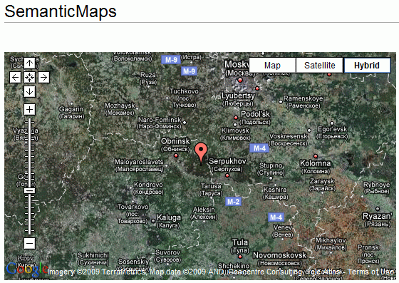
Today I finally got the first parser function, #display_point, of the Semantic Maps extension working. After having quite some troubles with the basic set-up of the extension, this is the first visible result.
Semantic Maps displaying a point on a Google Map

The wiki-code responsible for this map: {{#display_point:googlemaps|55°45′06″,37°37′04″|7|hybrid|550|320}}
The next step is the integration of the Google Geocoder extension. This extension contains 3 parser functions that will be absorbed into Semantic Maps: #geocode, #geocodelong and #geocodelat. Once integration is complete, I’ll also add a #display_address function, which in essence will do the same as #display_point, but just geocode the provided address.
Another thing I’ll ahve to hold into account is that the extension needs to enable the users to choose a geocoding service. Google Geocoder obviously only supports the one of Google.